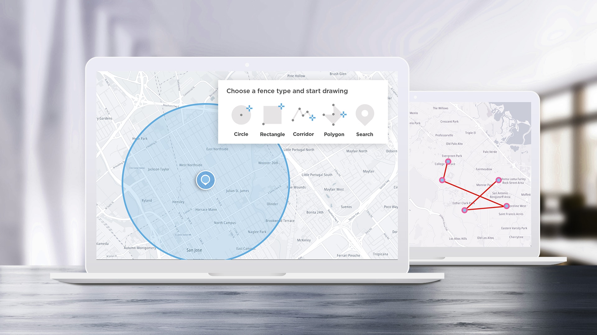
5 Cool Ways to Use Maps APIs
APIs are designed to help developers build applications easier and faster, and SDKs help speed up the process by turning some of the most complex APIs into even easier-to-use functions. We’ll take a look at some of the most interesting ideas we see the TomTom Maps SDK for Web being used for and how to implement them.
Apr 12, 2023 · 9 min read
Read More
Read More
#research
)
perspective
Top 5 Uses of Mapping in Academic Research
Capturing and displaying complex geographical and statistical information on maps is crucial to many researchers. Once upon a time, you'd have to manually capture location information, and needed specialized software to crunch data and create digital maps. Today, TomTom location APIs and SDKs and a little programming knowledge make sophisticated mapping applications available to anyone. In this article we'll examine five ways mapping can be used to further academic research, highlighting examples in each case that can be made easier with TomTom mapping products.
Jul 02, 2020·7 mins read
)
build different
Using TomTom as a Basemap for CARTO Visualization
CARTO is a popular location intelligence platform which allows users to create map visualizations with an easy setup which doesn’t require background programming or cartographic knowledge. It harnesses data science functionality to let users select from popular data tables, or import their own. If you regularly create projects for web and/or mobile platforms with TomTom, you can use TomTom maps as a basemap within the CARTO platform itself to keep your projects and visualizations consistent.
May 28, 2020·7 mins read