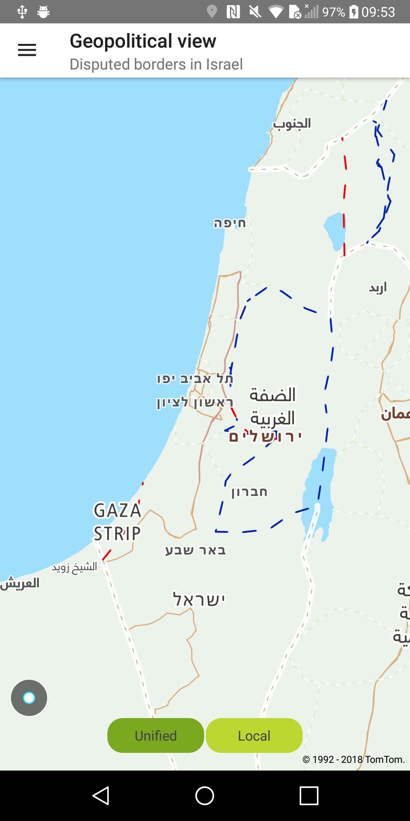
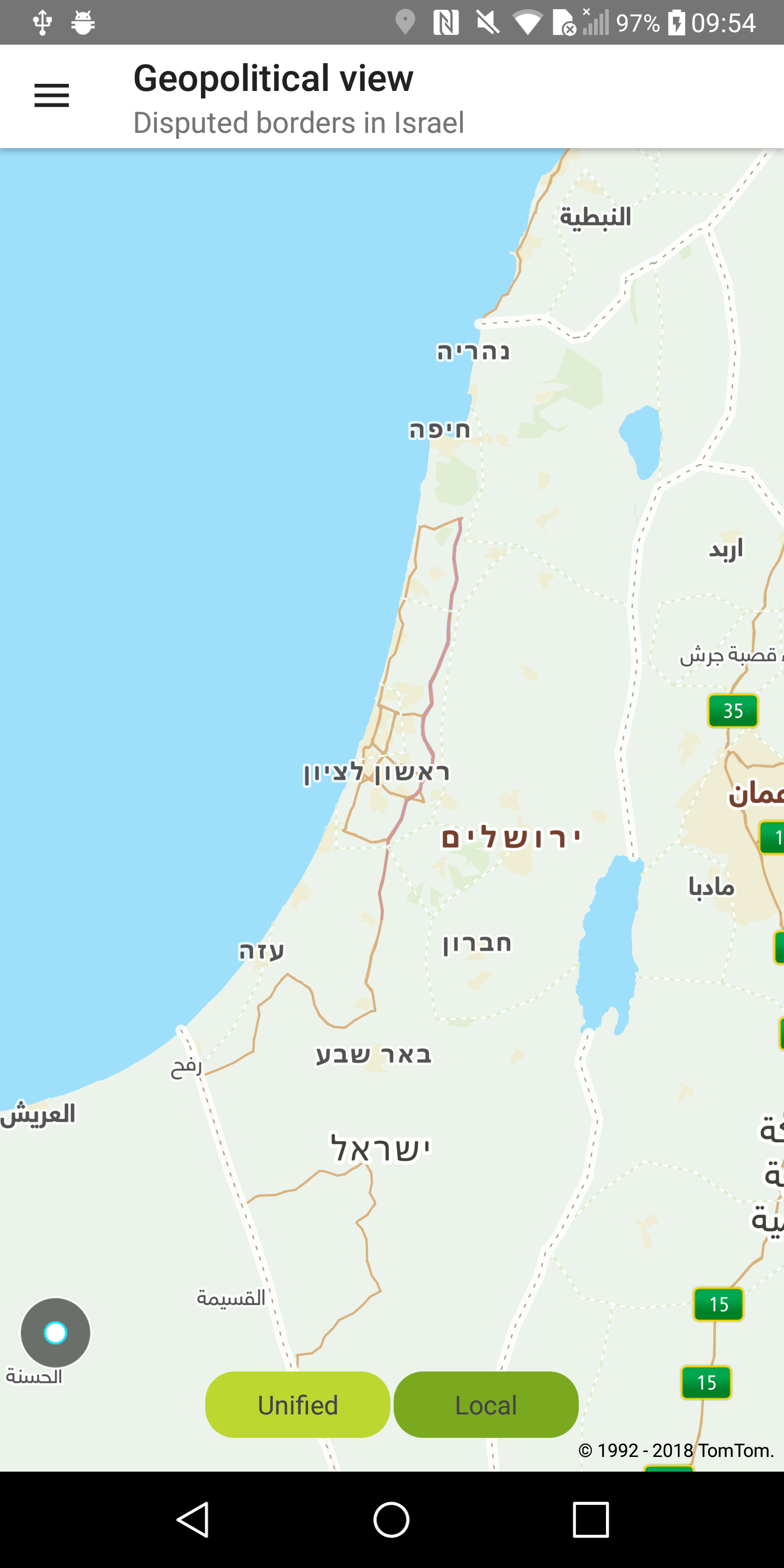
Geopolitical view
Allow your users to see map boundaries based on unified or local country views. The local view is available for a particular area of the world that is considered disputed by two or more countries. You can change the geopolitical view of your map. If you don’t specify a geopolitical view the " Unified" view will be used. The Israel geopolitical view is currently available only for vector maps.
A list of the supported views can be found at Default View Mapping.
Note: Inside India’s territory only the "IN" geopolitical view is available without the possibility of being overridden.
Sample use case: You want to display a local map view for Israel.
To change the geopolitical view for the map:
Israel international view |
Israel local view |

