Additional data
Allow your users to request extra data like polygons representing administrative borders, for a set of entities previously retrieved from an Search API. For more information, refer to the Additional Data service documentation.
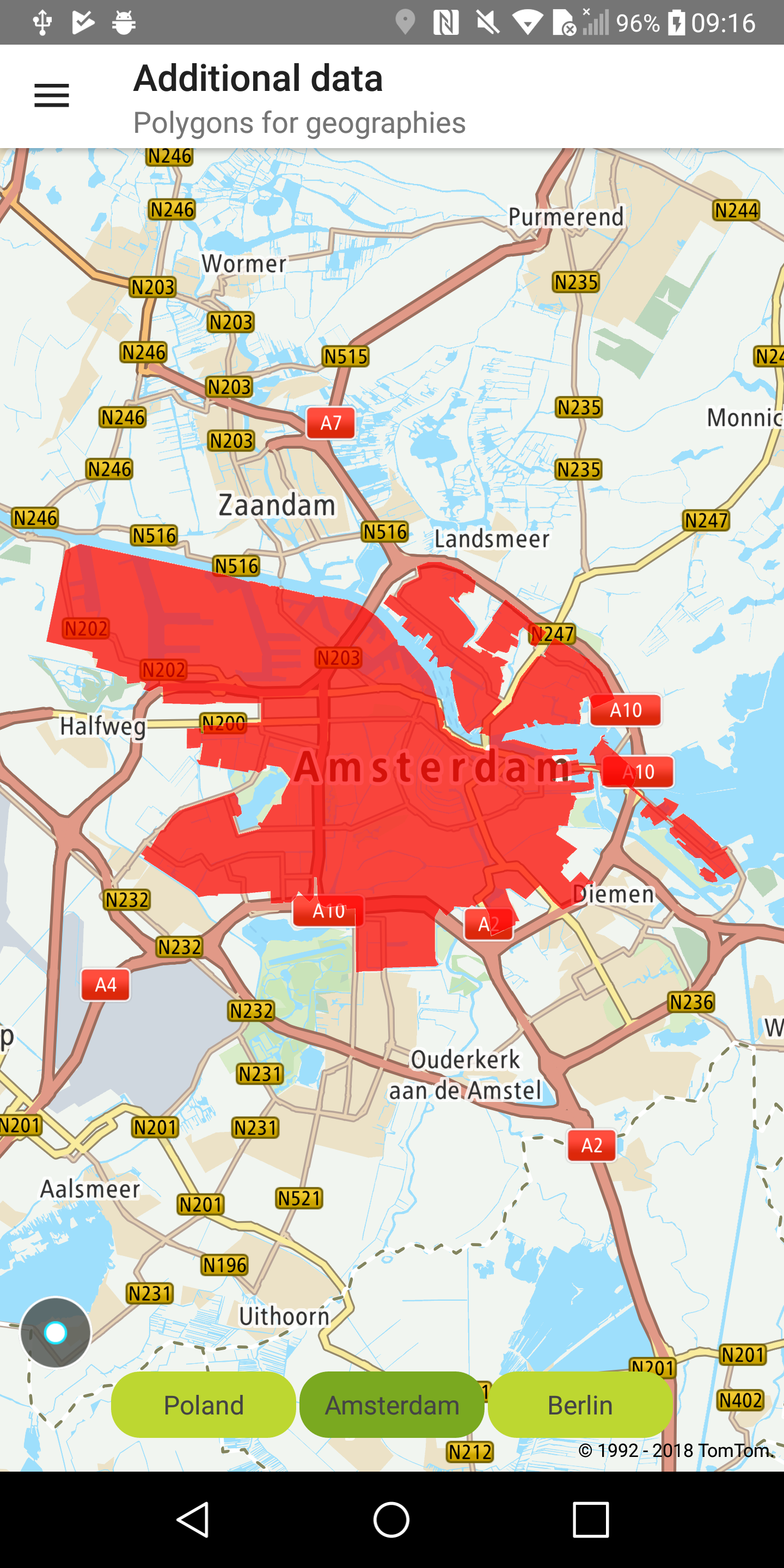
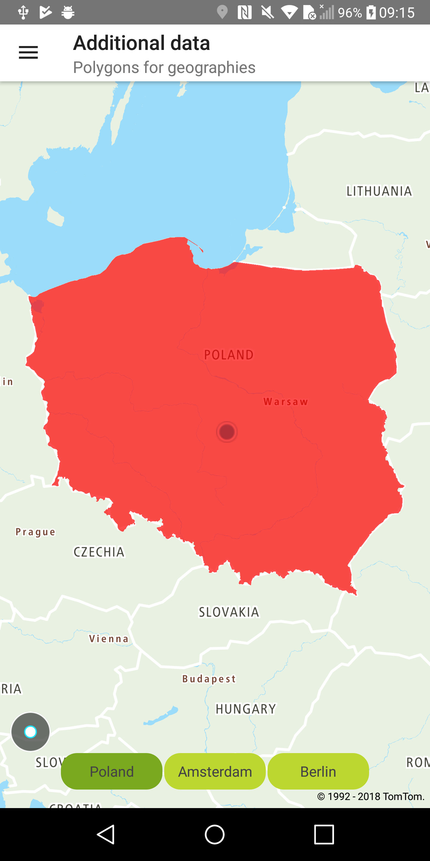
Sample use case: You want to apply colors to geographic-boundary areas such as countries, cities, or districts.
Use the following code to try this in your app:
Sample views utilizing entities retrieved from the Additional Data service:
Boundaries for Amsterdam |
Boundaries for Poland |

